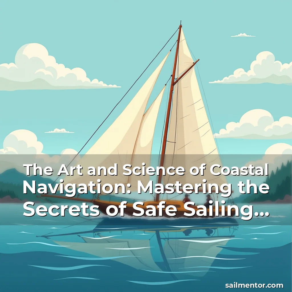
The Art and Science of Coastal Navigation: Mastering the Secrets of Safe Sailing Alongshore
Capturing the essence of coastal navigation requires an intricate blend of technical skill, environmental awareness, and maritime tradition. This practice is not merely about following charts but understanding how the sea interacts with land, currents, and weather patterns.
For sailors navigating near shorelines, mastering coastal navigation can mean the difference between a successful voyage and a dangerous misadventure. It involves reading natural signs, using modern tools effectively, and respecting the dynamic nature of marine environments.
Understanding the Fundamentals of Coastal Navigation
Coastal navigation begins with comprehending the basic elements that define your route along the shoreline. This includes recognizing landmarks such as lighthouses, buoys, and distinctive rock formations which serve as visual aids during your journey.
A fundamental aspect of coastal navigation is learning to interpret nautical charts accurately. These specialized maps provide crucial information about depths, hazards, and navigational markers essential for safe passage close to coastlines.
Complementing chart interpretation are electronic navigation systems like GPS and radar, which enhance situational awareness by providing real-time data about vessel position and potential obstacles.
- Leveraging Landmarks: Identifying prominent features visible from seaward helps maintain orientation even when traditional bearings become unreliable due to fog or darkness.
- Maintaining Chart Accuracy: Regularly updating paper charts ensures you have current information regarding changes in tides, new construction projects affecting waterways, etc.
Mastering Techniques Specific to Shallow Waters
Navigating through shallow waters demands particular attention because the risk of grounding increases significantly here. Understanding local tide tables becomes imperative since they dictate when certain areas will be passable without running aground.
In these conditions, soundings taken via echo sounding devices play a critical role in determining bottom depth before proceeding further inland towards shallower zones where visibility might also decrease rapidly.
It’s equally vital to remain vigilant against sudden shifts caused by strong winds pushing waves onto beaches thereby altering normal underwater contours temporarily.
Tidal Influences on Coastal Routes
Detailed knowledge of tidal movements affects every decision made while sailing within reach of coastal influences. For instance, high tides may allow access to harbors otherwise inaccessible at low tide levels, creating strategic windows for maneuvering vessels safely.
Data derived from historical records combined with predictive models enables mariners to anticipate upcoming changes accurately; however, it’s always advisable cross-referencing predictions against actual observed behavior whenever possible.
Evaluating Weather Patterns for Effective Route Planning
Weather plays an influential role shaping both safety and efficiency of any coastal expedition. Before setting out, reviewing forecasted wind speeds, precipitation chances, and temperature variations offers insight into what challenges await ahead.
Sudden squalls capable of reducing visibility dramatically pose serious threats especially when approaching unfamiliar coasts where emergency resources could be sparse.
Predictive models used today offer greater precision than ever before allowing planners sufficient time to adjust course accordingly based upon expected atmospheric developments.
Utilizing Modern Technology Enhanced Navigation Systems
Modern technology has revolutionized how we approach coastal navigation making previously complex tasks much simpler today compared to past generations who relied solely on manual methods alone.
Electronic Chart Display & Information System (ECDIS) now commonly found aboard larger yachts provides interactive digital versions of traditional paper charts complete with layers showing traffic density amongst other relevant factors.
GPS units integrated alongside autopilot functions help maintain precise headings automatically minimizing human error associated with long periods spent steering manually under challenging circumstances.
- Integration Benefits: Combining ECDIS with AIS allows captains to monitor nearby vessel activity ensuring adequate spacing maintained at all times preventing collisions likely scenarios among busy channels.
- Emergency Preparedness: Built-in communication modules enable quick distress signaling capabilities increasing chances survival should unexpected situations arise suddenly.
Developing Environmental Awareness Through Experience
Experience gained over years spent regularly traversing familiar routes builds invaluable intuition helping identify subtle cues indicating changing conditions well before instruments register them definitively.
Observation skills honed through repeated exposure teach individuals recognize seasonal trends related specifically their region improving overall preparedness level regardless situation encountered later down line.
Engaging actively with fellow boaters through forums online communities fosters exchange ideas experiences contributing collective wisdom benefitting everyone involved indirectly enhancing personal expertise base substantially.
Learning From Mistakes And Continuous Improvement
No sailor remains immune from occasional errors occurring inevitably despite best efforts applied consistently throughout career spanning decades potentially.
Analyzing instances gone awry reveals hidden vulnerabilities prompting necessary adjustments aimed rectifying shortcomings identified thereby strengthening future performance outcomes significantly.
Fostering culture openness admitting faults encourages growth fostering environment conducive innovation resilience necessary thriving within unpredictable realm maritime adventures awaits eagerly each day anew.
Building A Personalized Approach To Coastal Navigation
Every sailor develops unique strategies tailored preferences strengths limitations faced daily life routines impacting choice techniques employed frequently chosen paths followed habitually.
Some prefer relying heavily technological assistance others opt minimal intervention trusting instincts cultivated naturally through extensive prior engagement similar terrain characteristics encountered repeatedly beforehand.
Experimentation different approaches helps discover optimal balance maintaining security comfort required executing maneuvers confidently efficiently meeting objectives pursued successfully achieving desired results reliably consistent fashion.
Sharing Knowledge Within The Maritime Community
Contributing back learned lessons acquired experience enhances broader understanding available publically accessible facilitating easier acquisition mastery difficult aspects initially perceived intimidating daunting task beginners attempting grasp comprehend fully.
Organizations dedicated promoting education outreach initiatives ensure continued development industry standards evolve keeping pace advancements happening globally simultaneously reinforcing foundational principles remained unchanged core identity profession itself continues thrive prosperously forward indefinitely.
Conclusion
Coastal navigation stands as testament harmonious interplay science artistry requiring dedication study practice achieve proficiency worthy respect admiration deservedly earned those committed pursuing excellence field endlessly fascinating world seafaring pursuits.
By embracing combination traditional techniques contemporary innovations continuously refining abilities adapt evolving landscape maritime journeys promise rich rewarding experiences lasting memories cherished lifetime reflecting true spirit adventure exploration defining essence sailing culture worldwide celebrated universally admired appreciated deeply across globe.
news is a contributor at SailMentor. We are committed to providing well-researched, accurate, and valuable content to our readers.